
Empower Organizations with Actionable Data
Provide governments, law enforcement, municipalities, and private enterprises with accurate license plate data, empowering them to make informed decisions for public safety, urban planning, and logistical optimization.
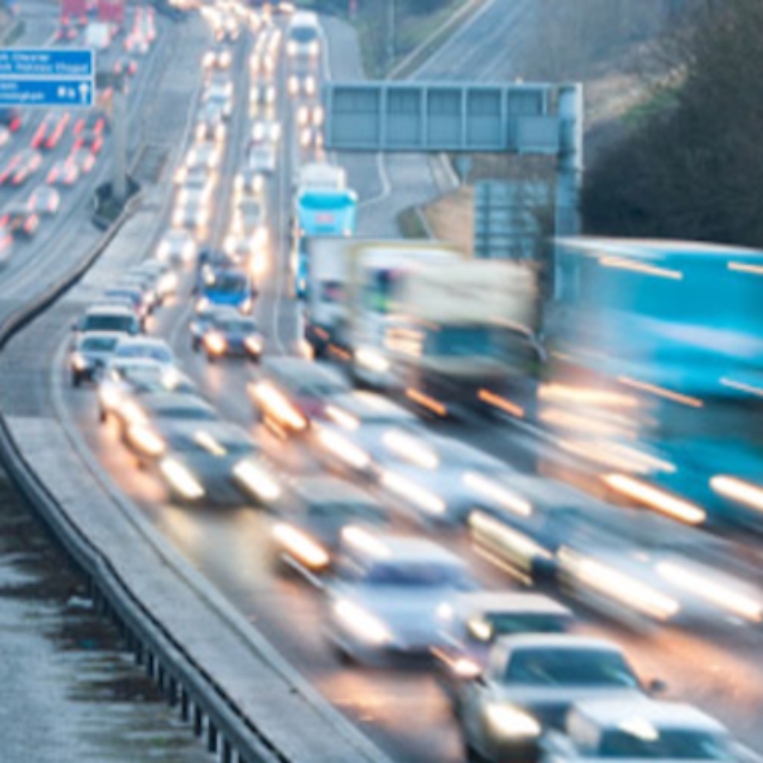
Transform Traffic Data into Insightful Action
Turn vast amounts of license plate, timestamp, and geo-location data into actionable insights that help streamline traffic flow, reduce congestion, and optimize transportation networks worldwide.

Enhance Public Safety and Security
Support law enforcement and security agencies in preventing and solving crimes, ensuring safer communities by providing powerful tools for vehicle tracking, identification, and pattern recognition.

Drive Smart City Initiatives
Facilitate smarter cities through enhanced traffic management, environmental monitoring, and urban mobility solutions, creating sustainable urban environments that improve the quality of life for residents.
